As the airspace becomes more heavily contested, militaries are searching for ways to extend their reach without compromising the safety of high-value aircraft. Air-launched effects (ALEs) are progressively becoming the means of pushing sensing and strike capability farther forward.
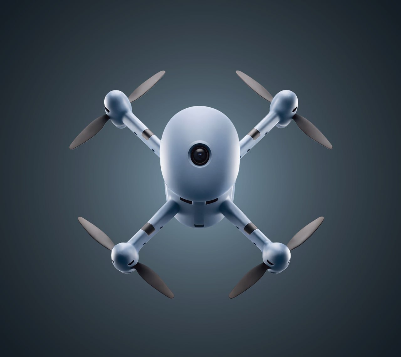
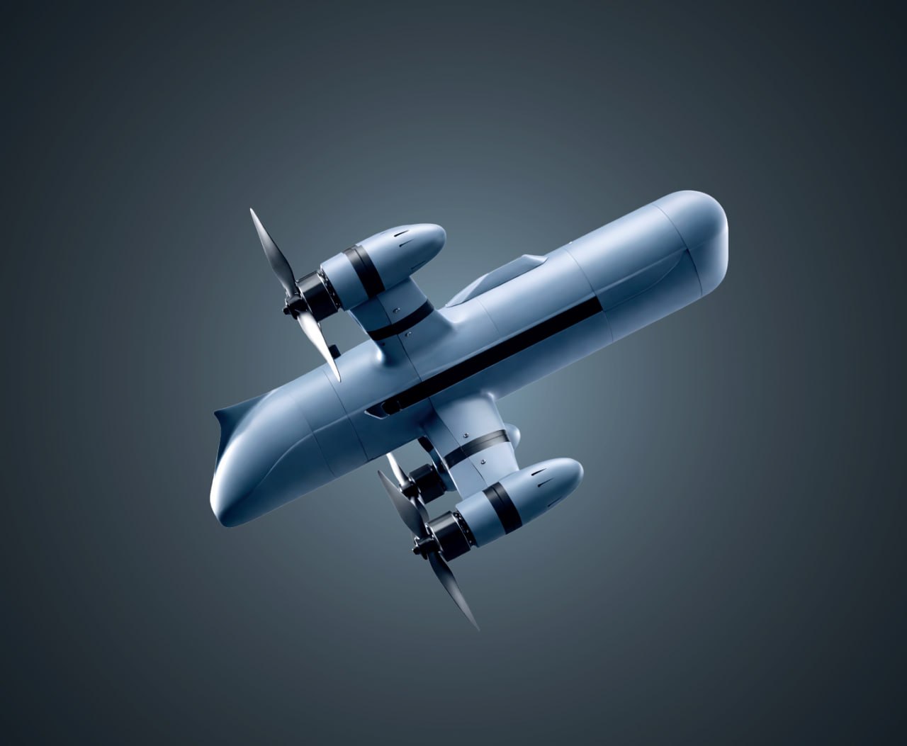
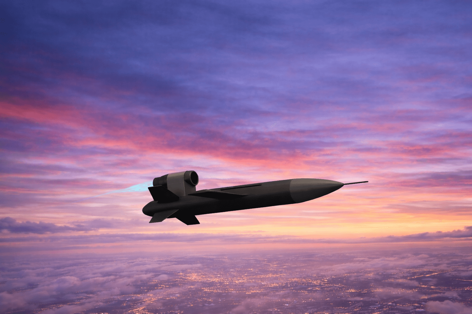
ALEs are compact uncrewed systems, capable of performing a range of ISR and defence duties. Unlike a conventional missile, an ALE may carry different payloads and operate semi-autonomously, either alone or as part of a large air defence network.
The relatively affordable systems can push sensing and firepower deeper into contested airspace — and that’s exactly what the modern military is seeking.
New-Generation ALEs Match Emerging Military Doctrine
Few teams want to risk losing expensive assets in highly contested zones. But, at the same time, they also critically depend on real-time intel. Air-launched effects enable greater range and faster response to find targets, map threats, relay communications, or deliver precision strikes.
This shift in thinking is beginning to appear in official defence programs. In January 2025, the UK Ministry of Defence started a market exploration study to identify suitable technologies for creating a “Deep Recce Strike” platform with the following capabilities:
- Operates at beyond 80 km/50 mi range
- Identifies dynamic targets
- Releases shorter-range one-way effectors.
The U.S. Army is also looking into a similar family of systems. Since 2020, the Army’s Launched Effects (LE) program has already includes a range of successful iterative flights with a range of ALE systems, tested in reconnaissance, surveillance, electronic warfare and kinetic missions.
Early ALE Trials Show Promising Results
Recent flight tests suggest that ALEs can be effectively integrated into aircrafts that are already in service.
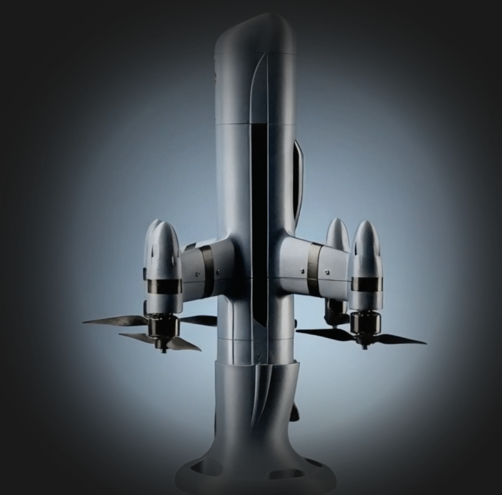
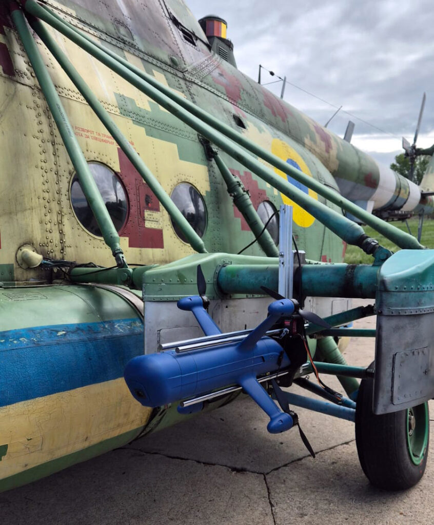
Ukraine is running its own version of this experiment with legacy helicopter fleets. In May 2026, OSIRIS AI conducted air-launch trials of its UEB-1 interceptor drone from an Mi-8 helicopter at a training ground near Kyiv, releasing the system at flight speeds of both 150 km/h and 230 km/h. The tests point to a practical path for pairing a low-cost interceptor with helicopters that are already in service, rather than waiting on purpose-built carrier platforms — a relevant option for forces that need to extend counter-drone coverage now, without a lengthy integration cycle for new airframes.
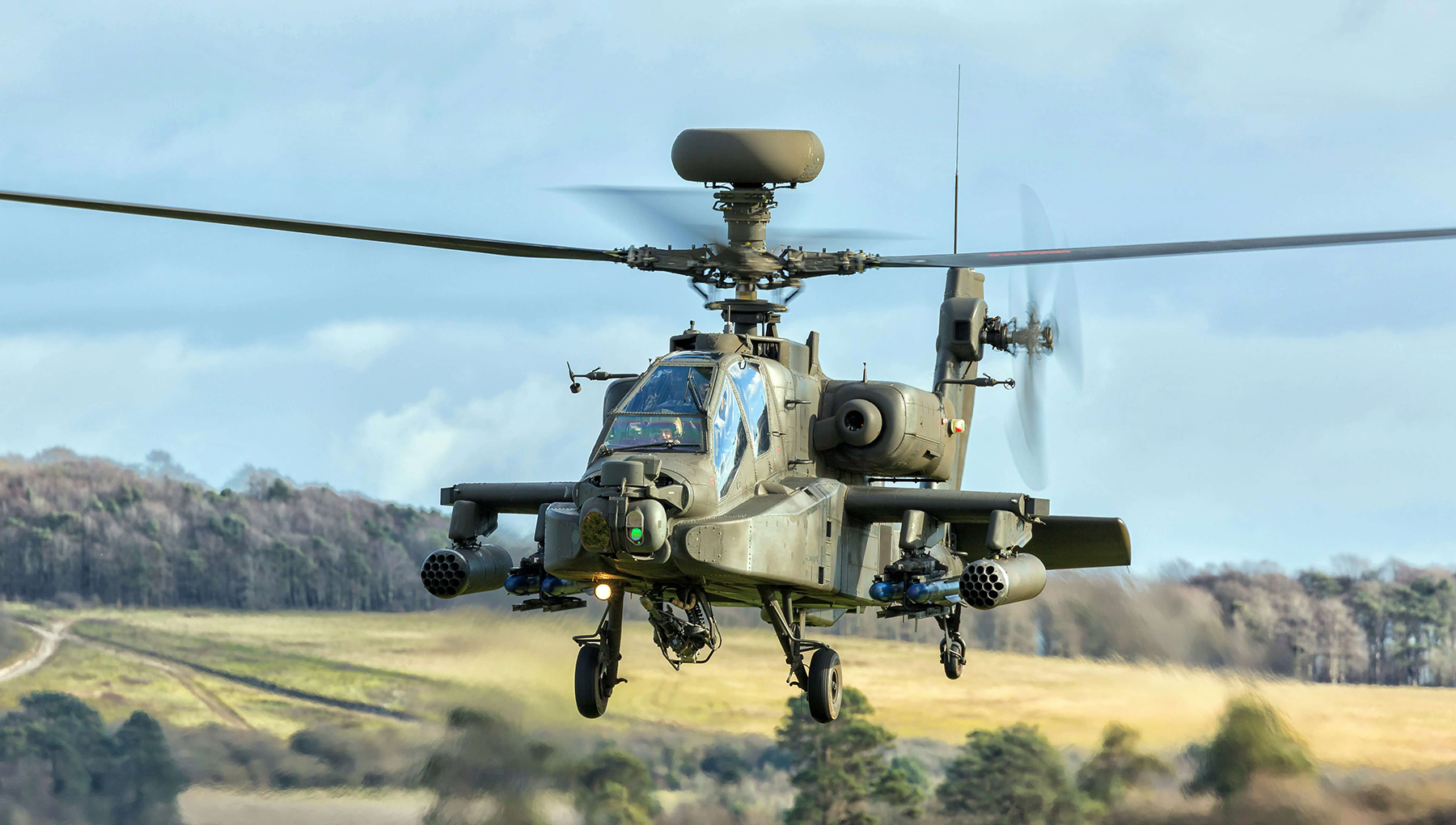
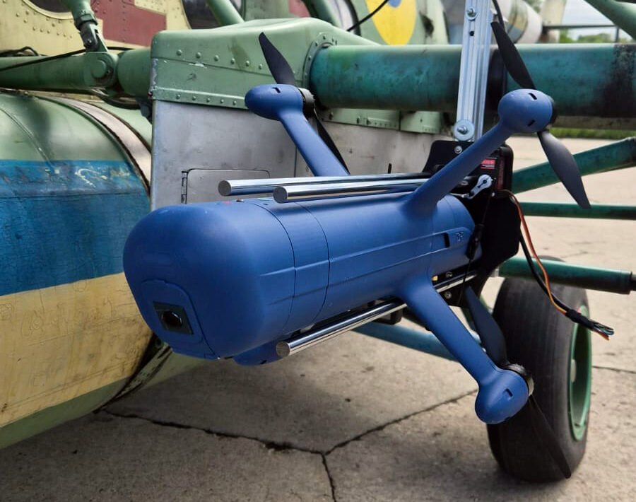
On February 26, 2026, an AH-64E Apache launched an ALTIUS 700 medium-range effect at Yuma Proving Ground. The Apache effectively carried and released the uncrewed system, while the crew remained at a standoff range. That marks an evolution in manned-unmanned teaming.
The Army expanded the idea in June, when H-60M Black Hawk crews successfully launched and controlled multiple medium-range effects during a three-day test. The result suggests ALEs may become a shared capability across aviation fleets rather than an Apache-only upgrade.
Meanwhile, the U.S. Marine Corps has recently done a similar test, but with lower-cost equipment. The force integrated FPV drones with an airborne UH-1Y Venom at Camp Pendleton to assess their use during MARSOC fast-rope operations onto a moving ship. The goal was to prove that small drones could help with reconnaissance before the arrival of large forces, supplying teams with situational awareness during a vulnerable phase of the mission.
Future “Drone Motherships” Could Scale the Concept
Purpose-built uncrewed aircraft could take ALE deployment much further. At ILA Berlin 2026, Airbus presented the U145, an autonomous version of its H145 helicopter. The mission-agnostic aircraft was purpose-built to carry cargo, but the modular architecture also supports surveillance, armed scouting and a “drone mothership” role for air-launched effects.
Airbus is working with MBDA on that application. They removed the cockpit to create room for cargo and mission systems. On-board autonomy systems allow the aircraft itself to operate without risking an on-board crew. In practice, a U145 could carry several smaller systems towards a contested area, release them for reconnaissance, jamming, decoy or strike tasks, and remain part of the mission network.
Open Architecture Will Decide Which ALEs Endure
The utility of future air-launched effects will strongly depend on how quickly the system can be adapted for different missions.
Military requirements change in lockstep with field conditions, and in contested environments that can be a matter of weeks. Modular open architecture is designed to make ALE systems easier to adapt by allowing flight controls, mission software, sensors, and payloads to be upgraded or replaced independently.
In practice, this would allow armed forces to add a new capability without redesigning the entire system. It may also make it easier to integrate the same capabilities across several crewed and uncrewed aircraft models.
Osiris OS provides the software foundation for enabling this modular approach. By combining flight control and mission computing in a hardware-agnostic environment, we enable teams to quickly develop and deploy a wide range of applications across different uncrewed platforms — aerial, ground, or maritime.
With Osiris OS, you can equip your ALEs with capabilities for (semi-)autonomous task execution or dynamic restasking, even when operating in denied communication environments. Likewise, you can deploy custom models to support swarming behavior.
Learn more about Osiris OS.